Day 8 : Moon Landscape and Welwitschia Drive
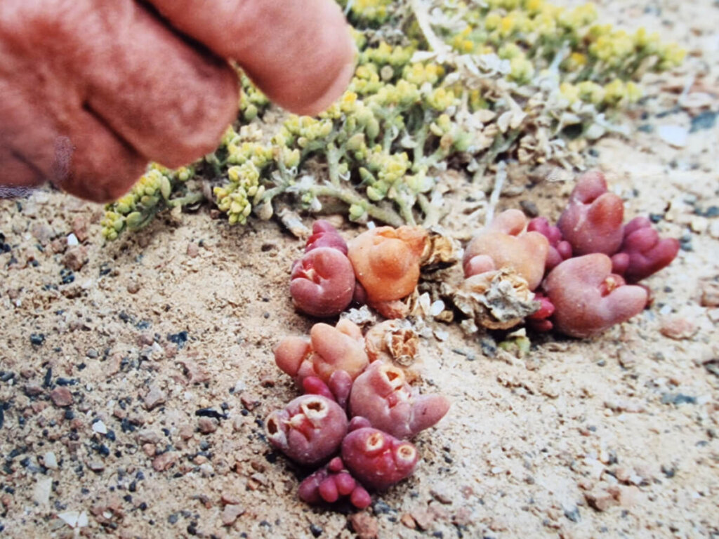
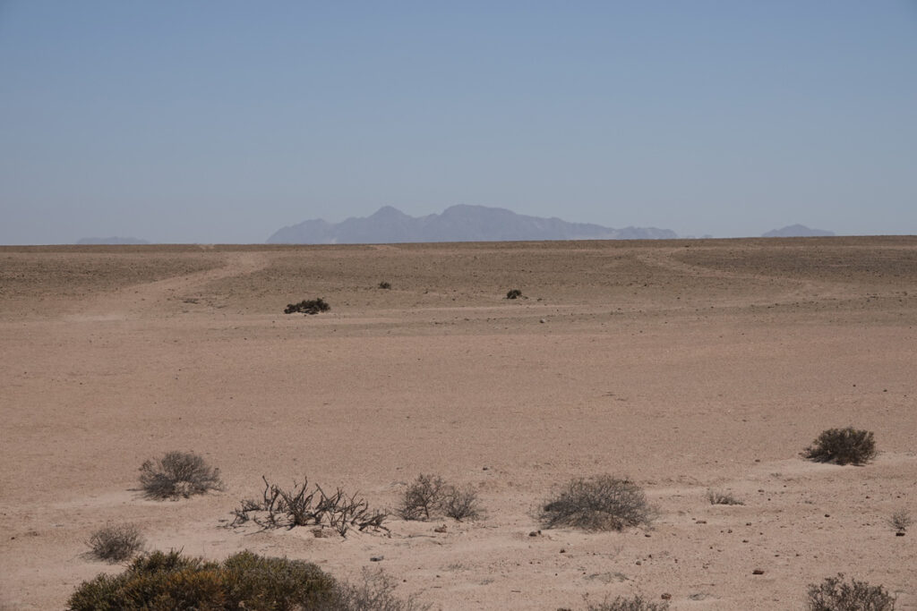
East of Swakopmund, the track crosses an immense gravelly plain covered with centuries-old lichens. These organisms, formed from the combination of a fungus and an alga, grow so slowly – less than a millimetre a year – that you can still make out the ancient traces left by an ox-cart.
Lichens of many different species can be seen here. Some blend in with the soil, while others form orange tufts or a barely perceptible green carpet. They play an important role in the desert, fixing and stabilizing the soil. Their fragile survival depends on the mist that forms over the ocean and is blown by the wind to the coastal plains, where it hardly ever rains.
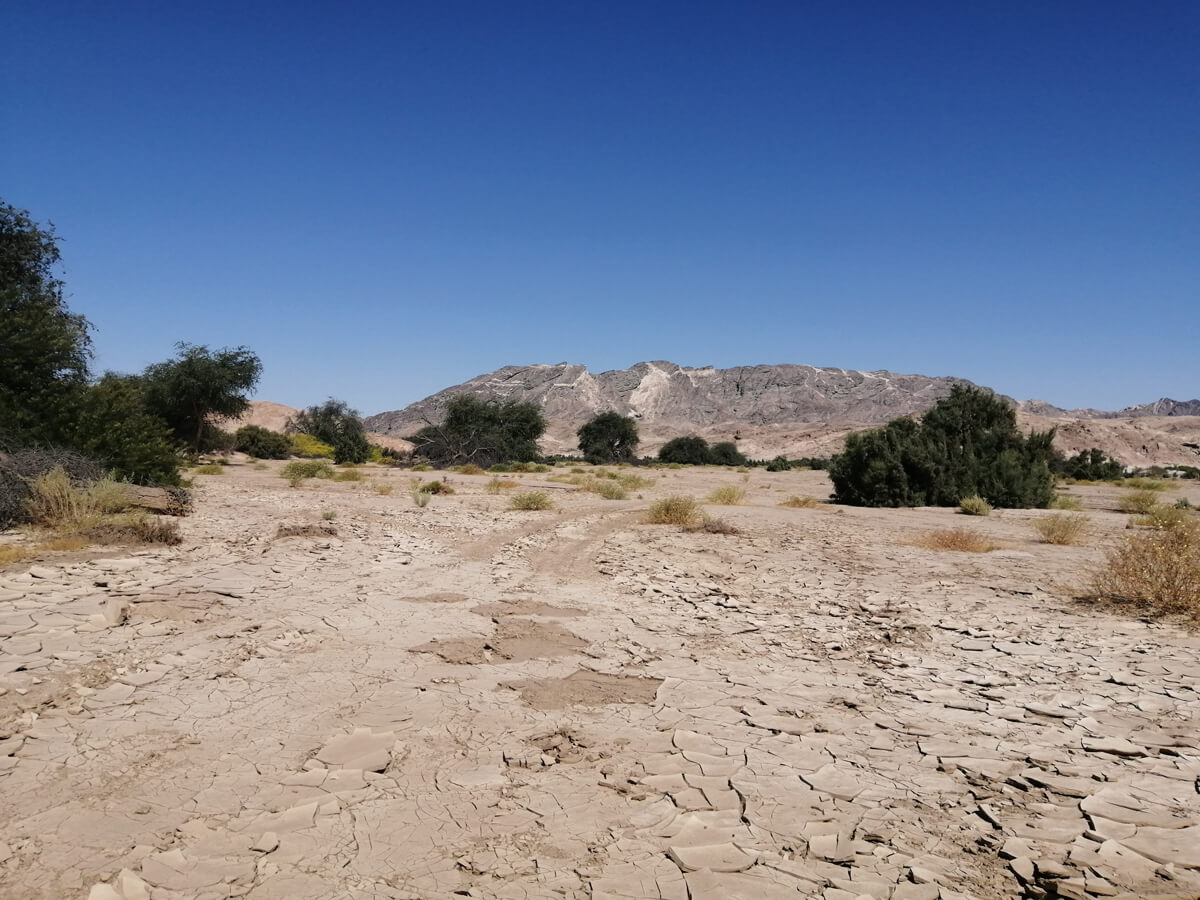
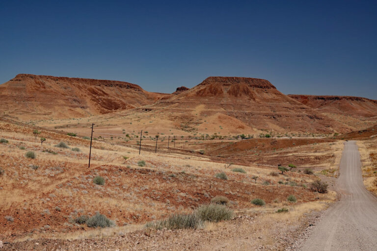
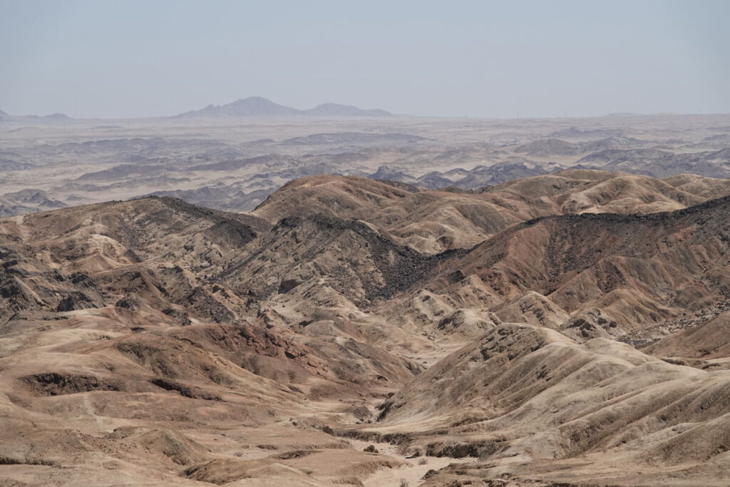
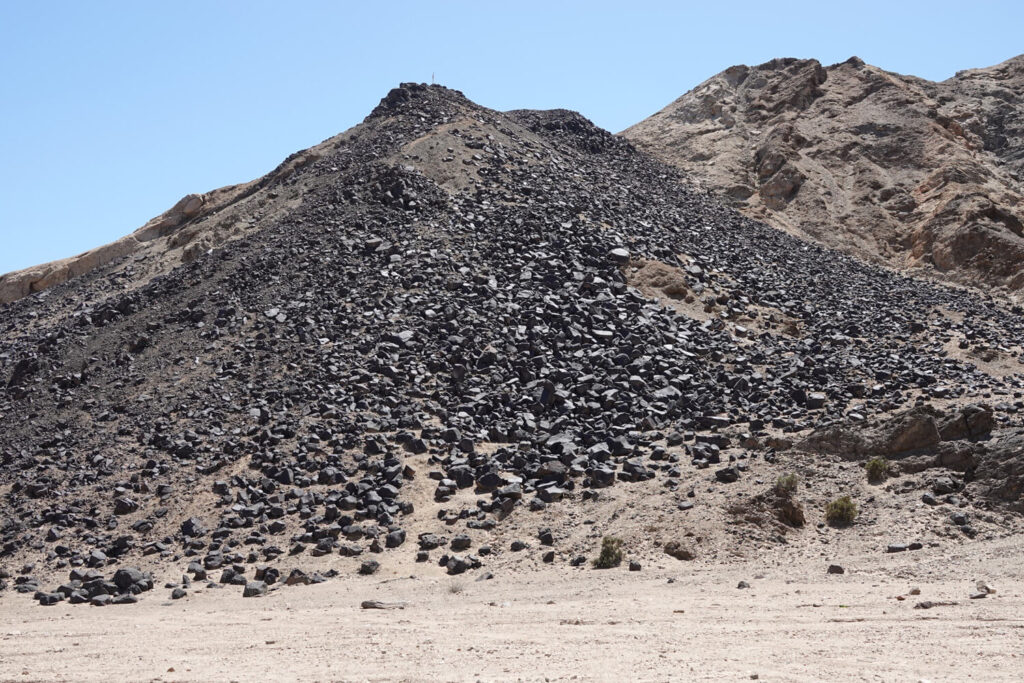
Zigzagging between hills and dolerite scree, we reach the top of a viewpoint. Before us lies a strange panorama of ‘badlands’, known as the Moon Landscape. The Moon Landscape is what remains of an Ordovician (-488 million) mountain. This tangle of dunes and gullies, made up of granite and mesachist, is the result of upheavals during glacial ice ages and erosion due to climatic changes during the Tertiary (-2.5 million). The erosion of the Valley of the Moon has continued over the millennia and continues to this day. Heat and wind weaken the rock, accelerating the erosion process as the Swakop River flows through it.
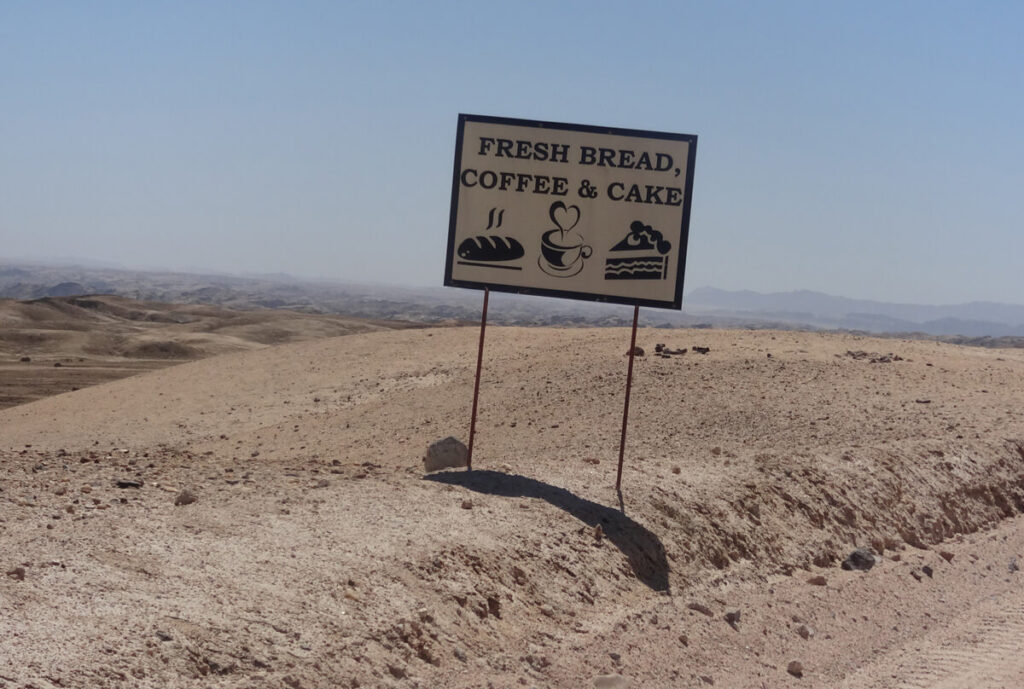
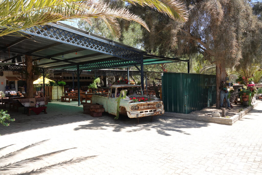
Continuing our lunar journey into the heart of this erg, where temperatures can soar to 68 degrees, we arrive at a lush oasis: Goanikontes (a Nama word meaning ‘the place where you can take off your fur coat’). On the fertile soil, camelthorn, anabooms and tamarisk thrive, drawing water from the underground river. Time for a stop. Wintfred Metzger’s charming brewery welcomes guests with German songs, in the former farmhouse built in 1903 by market gardeners Hrabovsky and Wilheim Brock.
The oasis, located between Windhoek and the Atlantic coast, was inhabited in the mid-18th century by the Herero and Nama peoples, who raised livestock there. In 1849, cattle traders Peter Dixon and Thomas Moris took over Goanikontes and built a farm. In the early 20th century, the presence of sufficient water and fertile soil attracted breeders and farmers. Today, the agricultural oasis has given way to a restaurant and tourist accommodation.
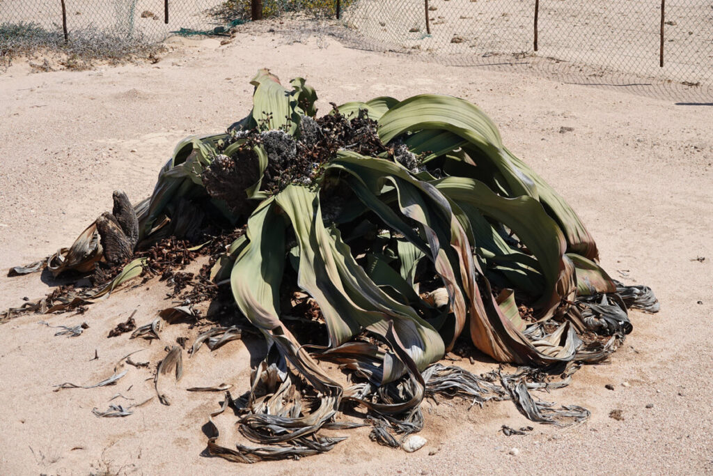
We end our tour on Welwitschia Drive, where a few shrub species predominate because of their adaptation to arid conditions: dollar-bush (tetraena stapfii), ink-bush and welwitschia mirabilis. The latter is unclassifiable. It grows only in western Namibia as far as Angola. It is likely to have developed in this region thanks to the coastal microclimate.
The plant forms a green mound that can reach 2 to 4 m in height. It produces just two leaves that grow from an underground trunk. With age, the two leaves dilate into narrower strips that curl up to form a mound. It grows very slowly and continuously. It can live for over 1000 years. At beacon number “11,12”, an enclosure protects a specimen estimated to be 1,500 years old.
ROAD TRIP IN NORTH_WEST NAMIBIA
Day 1 : Windhoek – Waterberg Wilderness
Day 2 : Hiking
Day 3 : Ugab Terraces
Day 4 : Ugab River Valley
Day 5 : Damaraland and Skeleton Coast
Day 6 : Cape Cross and the Spitzkoppe
Day 7 : Walvis Bay and Sandwich Harbour
Day 8 : Moon Landscape and Welwitschia Drive
Day 9 : The Kuiseb and Solitaire
Day 10 : Back to Windhoek via the Spreetshoogte Pass
