
Day 3 : Ugab Terraces
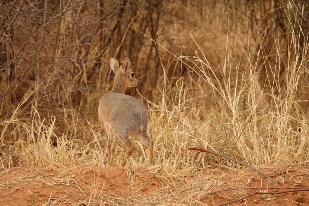
At dawn, guinea fowl and dick-dicks appear here and there at the edge of the vegetation along the deep sand track to the reserve exit.
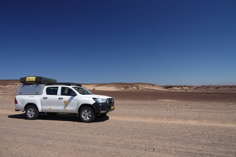
.We have to head for Outjo. At the crossroads, we take road B1 in this direction. As we go along, we don’t recognize any of the towns indicated on the road signs. We check on Maps.me! We’re on the B1, but in the opposite direction. We have to turn back and hope that the 120 km detour won’t deplete our fuel reserves before we reach Outjo. Phew! In Outjo, we refuel and take advantage of the stop to buy a bottle of wine to enjoy at the end of the day (in Namibia there’s 0 alcohol tolerance at the wheel).
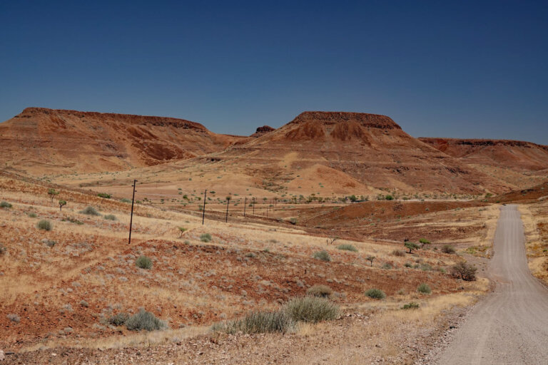
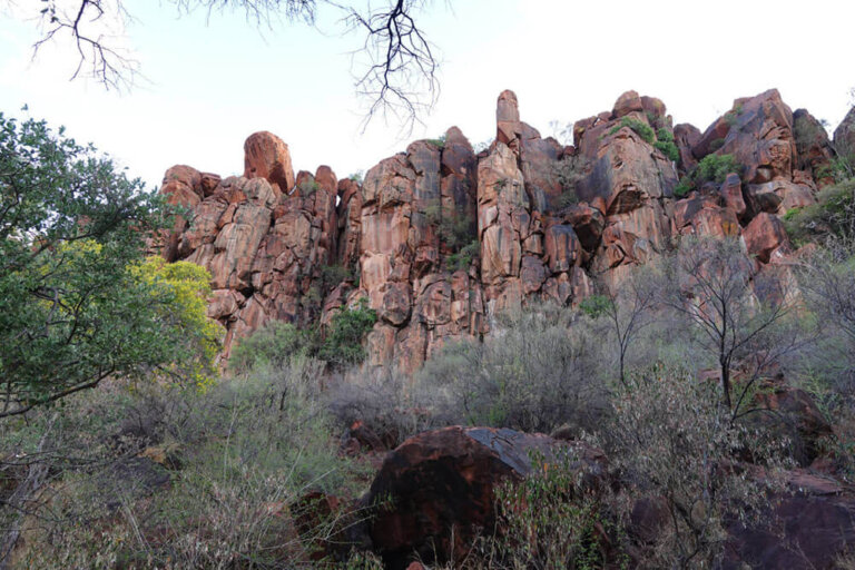
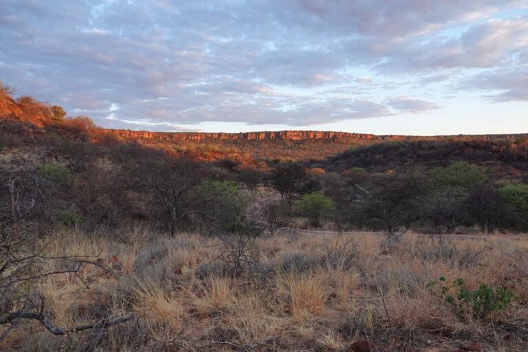
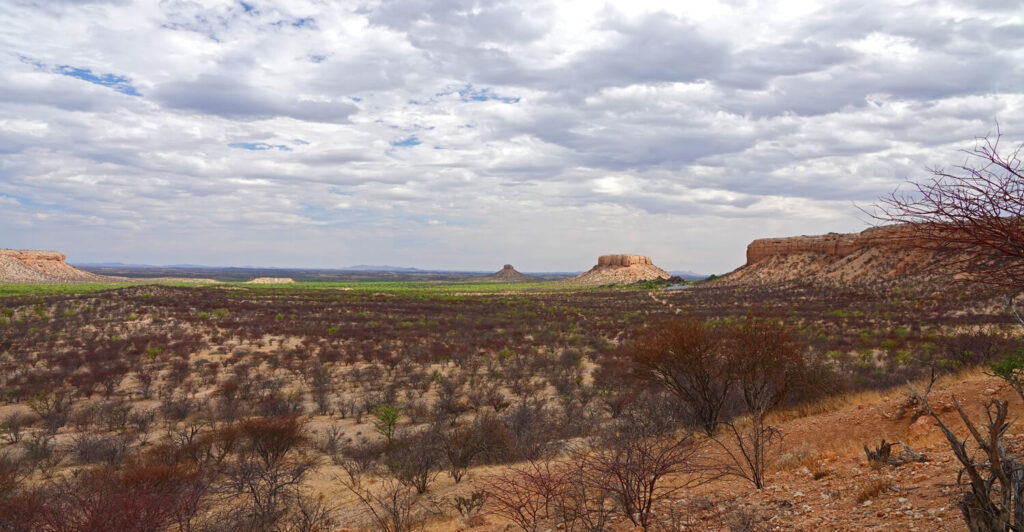
On leaving the village, we have to follow the C39 and then take the D2743 track for around 70 km, to reach the Vingerklip lodge where we have booked lunch. The view over the Ugab terraces is fascinating, with its tabular mountains and plateaus carved out by the Ugab River millions of years ago.
At the lodge, we are lucky enough to enjoy our meal in a space overlooking the valley. The landscape stretches as far as the eye can see. At the top of a plateau, the lodge has set up a restaurant, the Nest Eagle.

Mukurob
We take a short hike to the Rock Finger (Vingerklip). This geological remnant of an Ugab terrace stands on a hilltop at 926 m altitude. The rock formation itself is 35 m high. After an hour’s walk, we reach the foot of the hill. The slope is steep, but we proudly launch ourselves up the rocky knoll.
There was another vestige of the same type as the Vingerklip, the Mukurob (literally ‘Finger of God’ in the Nama language), located in the south of the country, not far from Keetmanshoop. It rose 12 m above its extremely thin base. On December 8, 1988, Mukurob collapsed. Geologists have identified several factors that led to its destruction: the penetration of moisture into the base weakened the base (1.5 x 3 m), which was too thin to support the enormous mass of the rock (450 tonnes), and the earthquake in Spitak, Armenia, on December 7, 1988. The seismic tremors of this earthquake (6.9 on the Richter scale) were recorded in Windhoek and probably dealt the final blow to Mukurob.

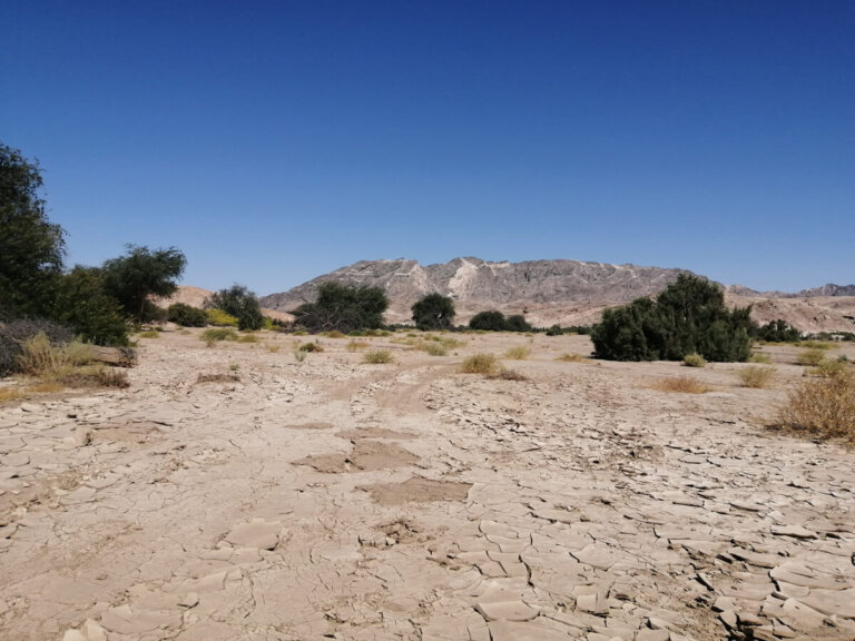
Our accommodation for the day is the Bambatsi Guest Farm, 32 km north of the Vingerklip. With the gate open, we take the stony path to the farm.
Inge and Gerald Hälbich give us a warm welcome. They are Namibian-Germans and speak German. Our bungalow is comfortable and the view from the large terrace is breathtaking.
Dinner is at 7:30 p.m. in the dining room overlooking the inner courtyard. The atmosphere, in the company of our hosts and two young German couples, is convivial. Gerald, who has a great sense of humor, leads the conversation. He tells us about Namibian society and politics, and a little about the black communities.
ROAD TRIP IN NORTH_WEST NAMIBIA
Day 1 : Windhoek – Waterberg Wilderness
Day 2 : Hiking
Day 3 : Ugab Terraces
Day 4 : Ugab River Valley
Day 5 : Damaraland and Skeleton Coast
Day 6 : Cape Cross and the Spitzkoppe
Day 7 : Walvis Bay and Sandwich Harbour
Day 8 : Moon Landscape and Welwitschia Drive
Day 9 : The Kuiseb and Solitaire
Day 10 : Back to Windhoek via the Spreetshoogte Pass